Good evening everyone,
so, the Wi-Fi works in the lobby.
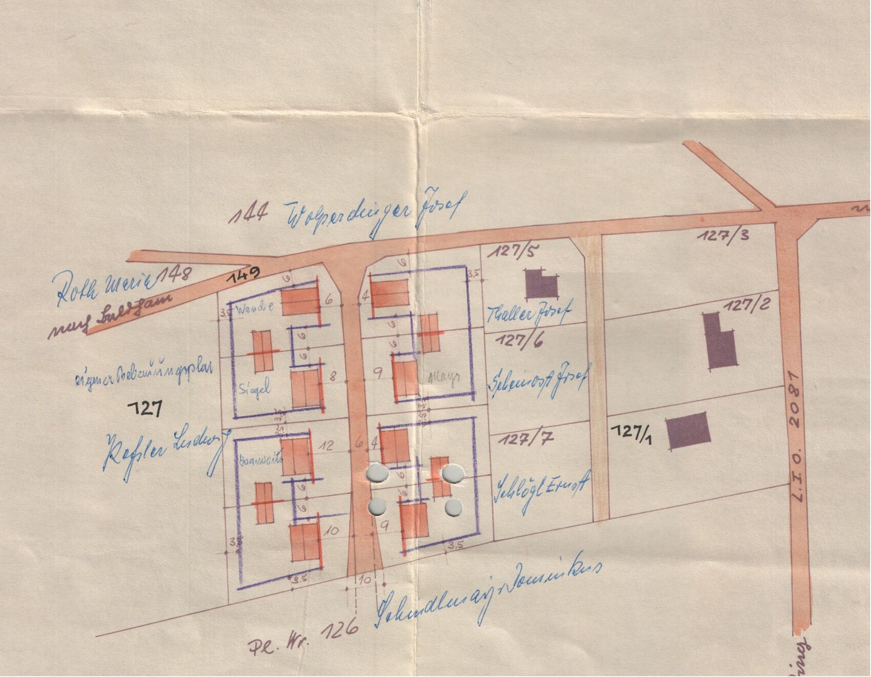
I have now attached the entire development plan from 1957. There is no more on the geoportal. No legend or similar. And I have not changed anything in it.
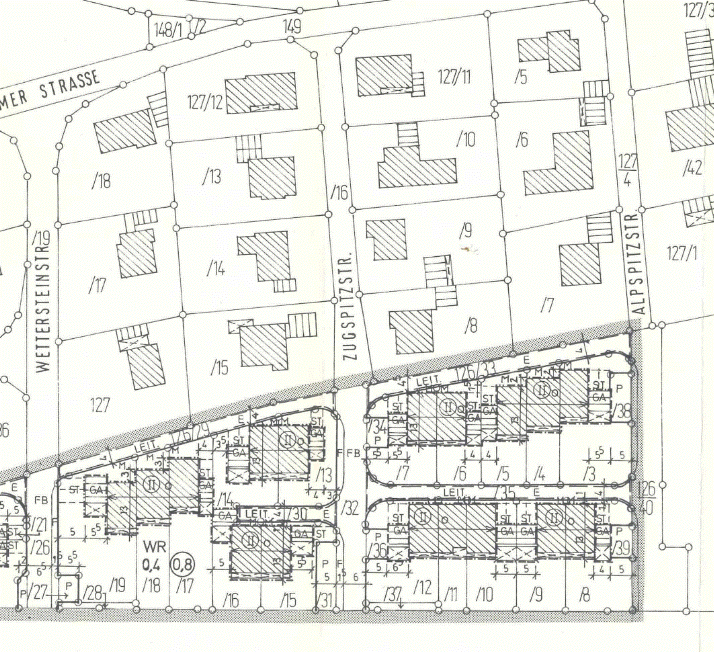
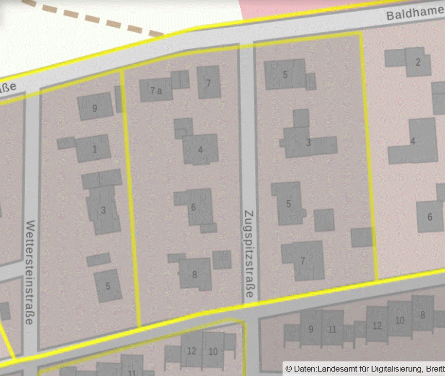
Additionally, the site plan, where you can better estimate the position of the buildings also on the neighboring plots.
As I said, I have already measured a little. The house really stands on the building line. Only the garage is not separate as shown in the development plan, but directly attached to the house and set back a bit.
Some of the neighbors have implemented it exactly as in the development plan.
One neighbor two plots south has done something completely different (+1 floor) and apparently got into quite some trouble.
Furthermore, I found a development plan from 1980, which applies to the plots at the southern end of the street.
Therefore, I used the basic assumptions of two full floors, pure residential area, floor area ratio and site coverage ratio, etc....
There would be a legend for this, which I have not uploaded for now.
I am basically interested in the interpretation of the building envelope, without dimension specification.
The statement from the staff at the office was, "If you do it more or less like the new buildings diagonally opposite, then that will be okay."
There are 4 town villas with hipped roofs squeezed onto 2 plots. We do not want that. But it indicates to me that there can be certain freedoms.
(e.g. ridge direction etc.)
The house north of the plot is also relatively old. I assume it will be torn down in the next 10-20 years and two town villas will be built there, too.
But as already commented here on the subject of "belief," "Assumptions are the mother of all fuckups"