
Escroda
2021-03-15 19:38:32
- #1
Well, you sure are worried. I don't know why that is important for answering the OP's questions.
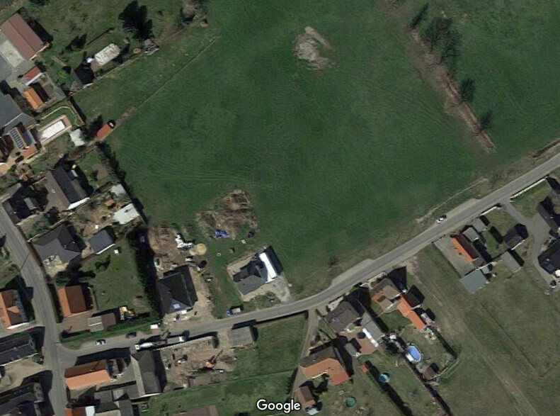
I used the outdated aerial image from the geoportal because it allows overlaying with the parcel areas. Google Maps is more up-to-date and you can see that the overhead line has already been dismantled.
I used the outdated aerial image from the geoportal because it allows overlaying with the parcel areas. Google Maps is more up-to-date and you can see that the overhead line has already been dismantled.